Showing posts with label driving. Show all posts

Friday, July 23, 2010

Lake Superior

Day 17 -- Sault Ste. Marie, ON

Google Earth measurements (straight line between locations)
Distance from Vancouver: 2880 km
Distance from Kingston: 660 km

Distance Driven Today: 718 km
Total Distance Driven: 4832 km

Today, we continued driving along Lake Superior to Sault Ste. Marie, which is pretty much right between Lake Superior and Lake Huron. During the day, we passed the 1000 km mark of Highway 17 (that is, 1000 km since the Ontario border). Sault Ste Marie is somewhere around 1250 km from the border along Highway 17. With the HST affecting gas prices in Ontario, gas prices here have been pretty high, I saw some up at $1.18/L!

Along the way, we stopped at Wawa, ON for gas and to stretch our legs. Wawa, ON also boasts a very large goose because Wawa means "wild goose" in an aboriginal language. You can see the goose live on webcam at http://www.wawawebcam.ca/goose-cam.html. While we were in Wawa, we met a retired old couple from Victoria, BC. They were on their way back from a drive to Nova Scotia. This is actually their second trans-Canada drive; they liked their trip to Nova Scotia last year so much that they decided to do it again this year!

The first 100 kms of the highway out of Thunder Bay
is the "Terry Fox Courage Highway"

We haven't seen an OPP (Ontario Provincial Police) aircraft yet!

Lake Superior is pretty

The 1000 km mark on Highway 17

The Wawa Goose

We finally reached the end of our iPod's "shuffle" playlist.
It lasted from Canmore to just outside of Sault Ste Marie.

Arrived!

Thursday, July 15, 2010

Land of the Living Skies

Day 10 -- Regina, SK

Google Earth measurements (straight line between locations)
Distance from Vancouver: 1332 km
Distance from Kingston: 2214 km

Distance Traveled Today: 758 km
Total Distance Traveled: 2457 km

Today we drove from Calgary to Regina, which actually took less time than the drive from Penticton to Canmore, but was much longer! The Trans-Canada Hwy through the Prairies is much easier driving! Also the Calgary to Regina leg is the second longest leg -- our longest leg will be from Winnipeg to Thunder Bay.

We also saw our lowest gas price so far today, in Medicine Hat, AB -- only 88.9 cents/litre! Calgary and other cities were at around 91 cents. As soon as we crossed into Saskatchewan though, the prices jumped to 99.9 cents!

We stopped at Walsh, AB (near the Alberta/Saskatchewan border) for lunch: peanut butter and jam sandwiches again! We are getting a bit tired of them but that jar of peanut butter has fed us for many meals. Maybe we can switch to a different type of sandwich after we finish the jar (which should be soon).

As we go out east, we are noticing more and more bugs! I am pretty sure both of us got several bug/mosquito bites. We will need to get bug spray tomorrow. A lot of bugs also hit our windshield and front grill of our car! It was getting quite messy until we hit a small rain storm just outside of Regina. It was like going through a car wash and cleaned off the majority of the mess!

We will spend the next couple of days looking around Regina and Rouleau, where Corner Gas was filmed.

A teepee in Medicine Hat, AB
Entering Saskatchewan: "Land of the Living Skies"

Coincidentally, we saw this truck right after a
conversation about blue moons.


I saw more oil drills in Saskatchewan than Alberta!

Lots of cows!

Lots of these too!
 
This was the view to the left and right for most of the drive. The
sky seemed to form a dome around us. Also, the only shadows
to be found were made by the clouds themselves!


But some parts of Saskatchewan were bumpier than expected!

Made it to Regina (there was a rain cloud right outside the city!)

Tuesday, July 13, 2010

Dinosaurs and cowboy hats!

Day 7 -- Calgary, AB


Google Earth measurements (straight line between locations)
Distance from Vancouver: 673 km
Distance from Kingston: 2887 km

Distance Driven Today: 409 km
Total Distance Driven: 1680 km

Today, we went to Drumheller to visit the Royal Tyrrell Museum of Paleontology. They had a giant dinosaur at their Tourist Information Centre which they claimed to be the "World's Largest Dinosaur". Drumheller was very decked out in dinosaurs: they were all over the streets, on signs, and even on street lamps.

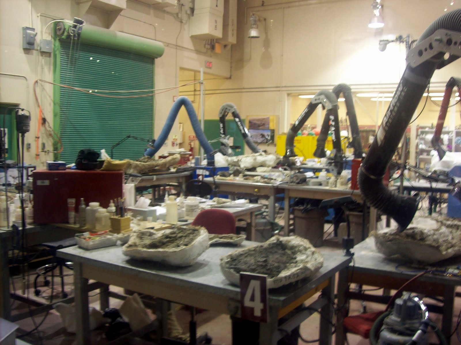
The Museum was great. Their displays were very high tech and had a ton of activities built into the displays for kids to play with. They even had areas where we could see them work on uncovering fossils. It was definitely the best museum I've seen and admission was much lower than many other places (only $10). On our way in, the skies were darkening and when we left, a full thunderstorm was going on! Awesome!


After the museum, we drove back to Calgary, checked into our hotel, and went for dinner at a nice family restaurant. Then, we went downtown to Riley and McCormick's Western Wear to get some authentic cowboy hats! We will be ready for the Stampede tomorrow!!


Alberta highways and horizons have no end!

 Dinosaurs roam the streets of Drumheller

 Eigensaur makes a new friend

Royal Tyrrell Museum

An interesting sign!

A very cool dinosaur!
These are alive, rare and very weird!

 Another awesome dinosaur

 Ready for the Stampede!!

Sunday, July 11, 2010

Alberta Bound!

Day 5 -- Canmore, AB

Reminder: You can now view our videos in the "Video Blog" tab above!

Google Earth measurements (straight line between locations)
Distance from Vancouver: 591 km
Distance from Kingston: 2973 km

Distance Driven Today: 565 km
Distance Driven so far:  1209 km

Today we drove for 9 hours including short breaks and a picnic lunch at the Last Spike of the CPR. We saw lots of rocks and trees and water! We took Highway 97 north through Kelowna and Vernon then got on Highway 1 at around Sicamous. From there, we just followed Highway 1 straight to Canmore! But we went through Revelstoke, Rogers Pass, and Golden. We went through Glacier and Yoho National Parks and saw many great views of the mountains.

 I recreate Donald Smith putting in the last spike.


Laura prefers a more accurate portrayal.

We almost missed the Last Spike because it's just part of a rest area near Craigellachie. Laura noticed the sign for the rest area just in time. There were no signs on the highway about the Last Spike. We posed for several photos and ate yummy sandwiches that we had prepared in Penticton last night. We also finally found our BC fridge magnet for our collection.

Only YOU can prevent forest fires!

A view along Highway 1. Maybe the Three Sisters?

What IS this animal? It makes a very high pitched screech and
pops out of holes in the ground. Maybe a Prairie Vole?

Mountains were blasted apart just for us!

These mountains look furry.

Pride Rock?

Yay!